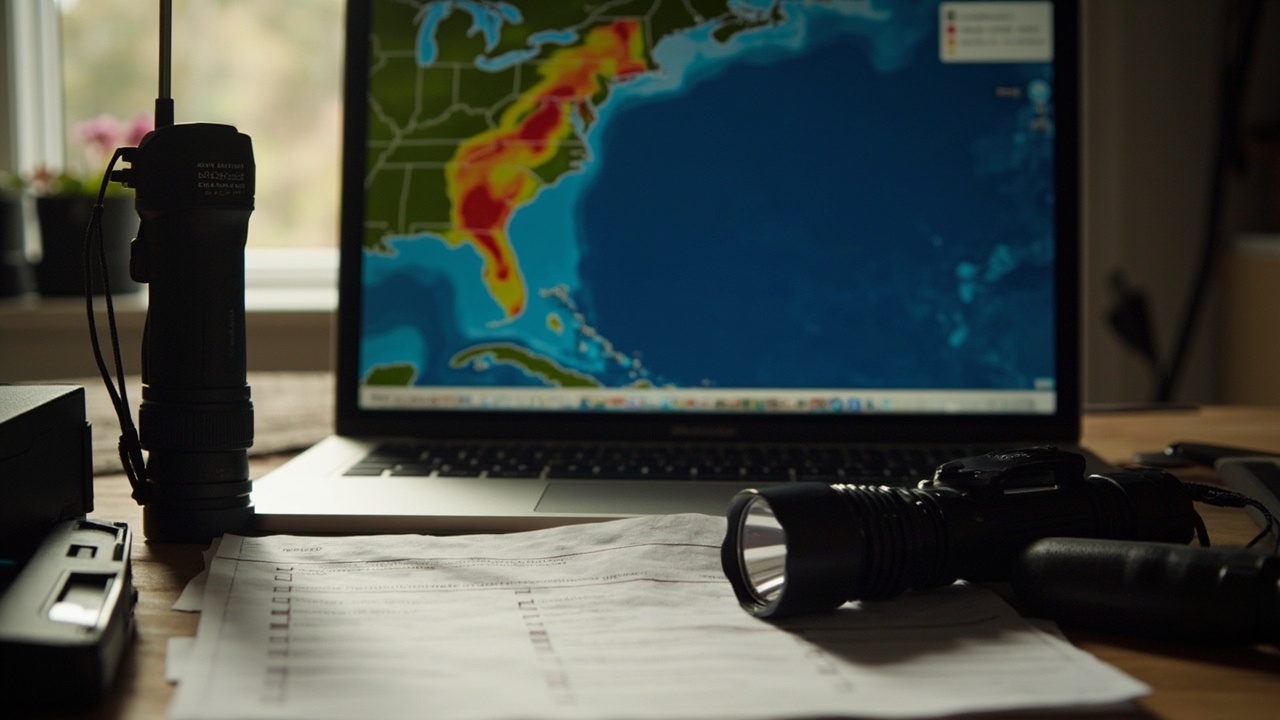
TL;DR: On Sept. 14, 2026, FEMA released P-2429, its first national hurricane-wind risk assessment built with Hazus, estimating more than $29 billion in average annual building losses.
What FEMA released on Sept. 14
On Sept. 14, FEMA released a report detailing hurricane wind risk across the United States, according to the FEMA advisory titled FEMA Releases First National Assessment of Hurricane Wind Risk. The document is identified as P-2429 Hazus Estimated Average Annual Hurricane Wind Losses for the United States and Caribbean Territories. The advisory describes it as FEMA's first national assessment of hurricane wind risk. The assessment quantifies and compares hurricane wind risk across the Atlantic and Gulf coasts of the United States, the Caribbean territories and Hawaiʻi. It estimates more than $29 billion in average annual losses to buildings due to hurricane winds. The advisory states the report is published on FEMA.gov. An interactive version of the report data was also released, along with a Hurricane Wind Risk/Loss Severity viewer for visualizing findings by area.
What Hazus is
FEMA's Hazus program provides software, data, methods and guidance for estimating risk from natural hazards, according to the FEMA page titled Hazus. The program can estimate building damage, economic losses, displaced households, casualties, debris generation and more resulting from a natural hazard event. FEMA states Hazus can be used in all phases of emergency management. The software is distributed as a GIS-based application with inventory databases for every state and territory in the nation. It is built on Esri's ArcGIS Pro desktop software. FEMA states that leveraging ArcGIS simplifies workflows and improves efficiency of risk assessment and mapping analysis for users. The Hazus program partners with other federal agencies, research institutions and regional planning authorities to incorporate current scientific and technological approaches.
How Hazus builds a loss estimate
Each Hazus model uses inventory information, hazard extent and intensity data and damage functions to estimate disaster impacts, according to the Hazus page on FEMA.gov. Inventory information covers buildings, infrastructure and population. The program provides baseline datasets for these inputs so any community can quantify risk regardless of data availability. Users are encouraged to modify Hazus model inputs to include more accurate local information. FEMA states the approach supports data-driven decision making for mitigation, preparedness, response and recovery. Hazus can be used to evaluate mitigation actions. States, local, tribal and territorial entities are encouraged to use Hazus to complete the risk assessment component of hazard mitigation planning. Emergency managers, planners and researchers can use Hazus to map potential impacts of catastrophic events and communicate risk to communities.
Why P-2429 matters for household planning
FEMA describes P-2429 as the first national assessment of its kind to quantify and compare hurricane wind risk across the Atlantic and Gulf Coasts, the Caribbean Territories and Hawaiʻi, according to the Hazus page on FEMA.gov. Community planners, policymakers and emergency managers gain a nationally consistent foundation for understanding where hurricane wind risk is greatest. The same page states the foundation supports prioritizing actions that strengthen resilience and save lives. The Sept. 14 advisory states the report helps emergency managers see community hurricane wind risks to make decisions to protect people and property. Under Administrator Hamilton's leadership, FEMA is focused on empowering state, local, tribal and territorial governments to proactively prepare for natural disasters, hazards and other emergencies, according to that advisory. The advisory describes the report as one of the resources recently released to empower those governments to make informed, strategic decisions about disaster readiness and hazard mitigation.
Building codes in focus: Wilmington and Charleston
The P-2429 report includes case studies for Wilmington, North Carolina and Charleston, South Carolina, according to the Sept. 14 FEMA advisory. Those case studies demonstrate how modern wind-resistant building codes can save lives and property. FEMA did not present the case studies as guarantees for individual houses in the advisory summary. For a preparedness household, the practical link is the structure itself. A family reviewing the P-2429 materials can look at the same wind-loss context that planners use and then compare it with local code history and construction type. The Hazus method behind the assessment connects hazard intensity to expected damage through damage functions applied to building inventory. That structure-level view is directly relevant to shutters, roof ties, garage doors and other wind-related hardening decisions made at the local permit level.
Hazus 7.2: current software version
Hazus 7.2 is available, according to the Hazus page on FEMA.gov. Updates include support for earthquake ShakeMap scenarios, which allows for U.S. Geological Survey data integration. Significantly enhanced and comprehensive summary reports for flood and earthquake are now available for download. Hazus 7.2 is compatible with ArcGIS Pro versions 3.4-3.6. To review what is new, FEMA points users to the Hazus Side by Side Comparison and the Hazus in ArcGIS Pro Latest Improvements Guide. Users can download the latest version of Hazus and state databases from the FEMA Map Service Center. FEMA directs users to read the Release Notes to learn more about the latest version. Technical manuals and supporting documentation are listed under Documentation on the same page. The Hazus User Guide is described as a way to learn at the individual level.
End of Hazus 6.1 downloads
FEMA no longer supports the download of Hazus 6.1 as of March 3, 2026 due to the retirement of ArcGIS Desktop, according to the Hazus page on FEMA.gov. To continue work, FEMA directs users to download Hazus 7.2 from the Map Service Center. FEMA acknowledges that not all functionalities from previous Hazus versions, identified as Hazus 6.1 and earlier, are available in Hazus 7.0, 7.1 or 7.2. Households that saved an older tutorial or bookmark should check version references before following steps. Community groups that keep shared computers for planning should confirm which ArcGIS Pro version is installed. The compatibility range published for Hazus 7.2 is ArcGIS Pro versions 3.4-3.6.
Loss Library: ready-made assessments
The Hazus Loss Library is a free, online collection of Hazus-generated risk assessments that can support all phases of emergency management, according to the FEMA page titled Hazus Resources. Users can search the library to find Hazus 6.1 and earlier products, which are downloadable in spatial formats, spreadsheets and reports. Products for flood, hurricane, earthquake and tsunami events across the country include historic, probabilistic and scenario-based modeling. The same page lists economic losses, building damage and social impacts from historic events and planning scenarios among the product contents. A factsheet and How To Guide provide more information, and FEMA points users to visit the Hazus Loss Library to find risk information available for a community. For a family that does not run GIS software, the library offers a way to read results prepared for a county or region.
Tsunami data added to the library
The Hazus Loss Library has been updated to equip coastal communities with input data that encompass over 100 tsunami scenarios and analyses, according to the Hazus Resources page on FEMA.gov. The page also describes a New Tsunami Loss Study update tied to annualized tsunami building loss input data used in P-2426: Estimated Average Annualized Tsunami Losses for the United States. Users can now download the building loss data that encompass over 100 tsunami scenarios and analyses. Community leaders can also use FEMA resources to understand how they may be impacted by tsunamis and earthquakes, according to the Sept. 14 advisory on hurricane wind risk. The publication entry for P-2426 identifies the Federal Emergency Management Agency, the U.S. Geological Survey and the National Oceanic and Atmospheric Administration as participants and gives August 2025 as the date. Coastal households can use the same library entry point to locate tsunami scenario material alongside flood, hurricane and earthquake products.
Open-source tools and outside-U.S. use
The Hazus program provides open source tools designed for a variety of risk analysis tasks, and they are available on the Hazus Map Service Center page, according to the Hazus Resources page on FEMA.gov. FEMA states these tools are simple to use and do not require coding experience. They are developed using Python and can be customized and extended by users with Python coding experience. International users can download the Hazus software. Adjusting hazard parameters and creating data inventories for areas outside the United States may require significant effort, according to the same page. FEMA invites questions or requests for additional resources through the Hazus Team. That contact path is separate from running a full desktop model and can help a volunteer group decide whether the tools fit its skills.
How preppers can use Hazus this week
Emergency managers, planners and researchers can use Hazus during real-time disaster response to estimate impacts of incoming storms, according to the Hazus page on FEMA.gov. A household cannot control a storm track, but it can review the same type of outputs Hazus produces: building damage, economic losses, displaced households, casualties and debris generation. Start with the P-2429 interactive data and the Hurricane Wind Risk/Loss Severity viewer noted in the Sept. 14 advisory. Then search the Hazus Loss Library for flood, hurricane, earthquake and tsunami products covering a county. Download the spatial file, spreadsheet or report format that is easiest to read. Compare baseline Hazus inventory assumptions with local knowledge of a home, such as year built and structure type, because FEMA encourages users to add more accurate local information. Keep the FEMA Map Service Center, Release Notes and Hazus User Guide together as the download and learning set.
Where to get help and files
Download the latest version of Hazus and state databases from the FEMA Map Service Center, according to the Hazus page on FEMA.gov. Read the Release Notes to learn more about the latest version. For Hazus technical assistance, data needs or methodology questions, FEMA lists contact to the Hazus Team at the Hazus Helpdesk by email at [email protected]. For questions about the Sept. 14 hurricane wind announcement, the advisory lists FEMA Office of External Affairs contacts for Intergovernmental Affairs, Tribal Affairs and Private Sector Engagement. The advisory also points readers to FEMA Blog on fema.gov and FEMA accounts on X, Facebook, Truth Social, Instagram and YouTube. The report itself is published on FEMA.gov alongside the interactive data release described in the same advisory.