TL;DR: Early October still leaves about eight weeks of Atlantic hurricane season, so finish a go-bag, alerts, insurance check, and family plan now before the next nor'easter or tropical system forms.
Last weekend's nor'easter flooded streets and yards in New Jersey shore towns and caused beach erosion, according to the WFPG report titled Let's Be Prepared for The Next Storm published October 4, 2026.
The author wrote that communities remain in the midst of storm and hurricane season, making early October the right moment to prepare for the next emergency event.
The Atlantic hurricane season runs from June 1 to November 30, and the eastern Pacific season runs from May 15 to November 30, according to the Herebeat guide titled Hurricane season: the official sources worth following published October 3, 2026.
Early October therefore leaves about eight weeks in the Atlantic season, and storms can still form late in that window.
A quiet Atlantic does not mean the season is over
The Atlantic had gone through September without a hurricane developing for the first time in more than 30 years, according to BBC Weather in Could El Niño mean there are no Atlantic hurricanes this year?
BBC Weather reported October 3, 2026 that September is normally the most active month, yet 2026 marked the latest date on record since the start of the satellite era in the 1960s with no North Atlantic hurricane formed.
Four named tropical storms formed in September 2026 — Edouard, Fay, Gonzalo and Hanna — and all but Edouard stayed in open Atlantic waters, according to the same BBC Weather report.
The National Hurricane Center suggested no tropical-storm or hurricane activity over at least the next week, while forecasters at Colorado State University said strong El Niño would likely disrupt Atlantic wind patterns and likely result in below-normal activity over the next two weeks.
The May outlook from the National Hurricane Center predicted 8 to 14 named storms, with 3 to 6 becoming hurricanes and 1 to 3 becoming major hurricanes, according to BBC Weather.
Fox Weather analyst Bryan Norcross wrote October 1, 2026 in Bryan Norcross: October begins with a blank slate in the Atlantic but we'll watch the Gulf that the Atlantic, Caribbean and Gulf had completed September without an officially recorded hurricane.
Norcross noted that Tropical Storm Fay was only 5 mph below hurricane strength, that real-time wind estimates carry intrinsic errors larger than that margin, and that the National Hurricane Center will reanalyze all data after the season to confirm tracks and wind speeds.
He also wrote that no development was expected for the next week, but that the pattern over the southwestern Gulf could become briefly more conducive in about seven or eight days, with long-range models showing only a low chance of development.
A WBBH report titled October is still hurricane season: what you need to know, updated September 29, 2026, said October averages three named storms, most commonly in the western Caribbean and western Atlantic.
The same WBBH report said the Climate Prediction Center marked a Gulf area for September 30 to October 6 with about a 20% chance of at least a tropical depression forming.
History shows late-season landfalls can carry far-reaching effects, since Hurricane Milton made landfall October 9, 2024 near Siesta Key and spawned 45 tornadoes, several reaching EF-3 strength, according to WBBH.
Superstorm Sandy formed in the Caribbean on October 22, 2012, then moved north and made landfall as a post-tropical cyclone near Atlantic City, New Jersey, on October 29, according to the same WBBH report.
Build or refresh a go-bag you can grab
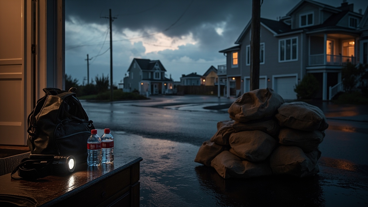
The WFPG report recommends keeping a go-bag, also called an emergency kit, ready before a storm approaches so residents are not searching the house while weather deteriorates.
The suggested core includes a few days of prescription medications, a basic first aid kit, bottled water, non-perishable snacks, a flashlight, a portable phone charger, extra batteries, a little cash, and updated emergency contacts kept both on paper and in a phone.
Additional items listed are copies of important documents, an extra set of keys, basic toiletries, a change of clothes, a battery-powered or hand-crank radio, and household-specific supplies such as eyeglasses, hearing-aid batteries, pet food and medications, or supplies for children.
Store the bag somewhere easy to grab, because the purpose is immediate departure without gathering supplies under pressure, according to the WFPG report.
The American Red Cross recommends at least three days of food and water for an evacuation kit, along with medications, a flashlight, first aid supplies, extra batteries and other essentials, as cited in the WFPG report.
For flooding, the same report advises acting early rather than waiting until the last minute to move a car, charge phones, fill prescriptions or arrange care for pets.
Set alerts before water starts rising
The WFPG author registered for Smart911 during the week after the nor'easter, describing it as a free service for creating a Safety Profile.
A Safety Profile can include address, household members, medical conditions, allergies, medications, mobility or accessibility needs, pets and important home details, according to the WFPG report.
In participating communities, that information can display to a 911 call taker when the resident calls for help, though Smart911 services vary by location and residents should check local availability.
The author also registered for a county emergency notification system and downloaded the FEMA app, noting that setup took little time and left information and alerts in place.
Atlantic County's Emergency Notification System can send alerts by phone, text, email and mobile app for flooding, severe weather, evacuations and other significant incidents, according to the WFPG report.
Cape May County Emergency Management provides emergency and storm information and preparedness resources at capemaycountynj.gov/149/Emergency-Management for county residents.
New Jersey's statewide system is NJ Alert at njalert.gov, while many municipal police and public safety agencies use Nixle, so residents should check which system their municipality uses.
The free FEMA app provides weather alerts, preparedness information and disaster resources, and FEMA recommends staying connected to local government alerts because those often carry evacuation orders and community-specific instructions.
The free Red Cross Emergency App provides weather alerts, preparedness guidance and information on Red Cross shelters and disaster resources, according to the same WFPG report.
Make a simple family communication plan
Emergency preparedness is not only about supplies, and households should decide evacuation destinations in advance, according to the WFPG report.
The plan should cover how family members will contact each other if cell service is disrupted and who will be responsible for children, older relatives or pets.
The Red Cross also recommends having a designated meeting place and ensuring everyone in the household knows the plan, as cited in the WFPG report.
Check insurance while skies are clear
North Carolina Insurance Commissioner Mike Causey reminded residents October 1, 2026 to remain guarded as the state marked the second anniversary of Hurricane Helene, according to the North Carolina Department of Insurance press release titled Helene anniversary reminds us to remain on guard.
"This hurricane season has been mild compared to most," Causey said. "As we learned from Helene two years ago, it only takes one storm to cause catastrophic damage to our state."
Causey said securing a home and property is critical to minimizing damage and that adequate insurance protection is also important.
Standard homeowners insurance policies do not cover flood damage, although mobile homeowners policies and automobile policies that include comprehensive coverage do cover flood damage, according to the same North Carolina Department of Insurance release.
Most hurricane fatalities and property damage are caused by water, according to that release.
The National Flood Insurance Program has a 30-day waiting period before coverage takes effect, so residents should not wait until a named storm is approaching to seek flood insurance.
Renters should consider purchasing renters insurance and flood policies because a landlord's insurance will not cover renters' losses, according to the release.
"There's no substitute for being prepared," Causey said.
More storm-preparation information is available at ncdoi.gov/disaster, or by calling 855-408-1212 weekdays from 8 a.m. to 5 p.m., according to the release.
Read official forecasts correctly
The National Hurricane Center in Miami forecasts tropical storms and hurricanes in the Atlantic and eastern Pacific and issues tropical storm, hurricane and storm-surge watches and warnings for the U.S. coast, according to Herebeat.
Its Tropical Weather Outlook gives the chance a disturbance becomes a tropical cyclone within 2 days and within 7 days, with low under 40%, medium 40% to 60%, and high over 60%.
New for 2026, a gray X marks disturbances with near-zero chances at both 2 and 7 days, according to the same guide.
Public advisories arrive every six hours, at 5 and 11 morning and evening Eastern time, with intermediate advisories while coastal watches or warnings are in effect, each giving position, strength, movement and watches and warnings in force.
The forecast cone shows where the center is likely to go, not how large the storm is or where damage will occur, and it is built so the center stays inside about two-thirds of the time based on the prior five years of errors.
Strong winds, surge and heavy rain often extend far beyond the cone, and residents near the cone or under any watch or warning should prepare as though the storm could affect them without focusing on the center line.
For 2026, the cone graphic shows inland as well as coastal tropical-storm and hurricane watches and warnings and is slightly narrower than in 2025 because recent forecasts improved, while an experimental wider version is also being tested.
Watch-versus-warning timing counts back from when tropical-storm-force winds are expected to begin, not hurricane-force winds, with watches typically about 48 hours ahead and warnings about 36 hours ahead.
A Tropical Storm Watch means sustained winds of 39 to 73 mph are possible, a Tropical Storm Warning means those winds are expected, a Hurricane Watch means hurricane conditions of 74 mph or more are possible, and a Hurricane Warning means those conditions are expected.
A Storm Surge Watch means life-threatening flooding from rising water moving inland is possible, while a Storm Surge Warning means that flooding is expected, and the National Hurricane Center describes surge as a significant threat to life and the leading cause of hurricane deaths.
The Saffir-Simpson Hurricane Wind Scale rates hurricanes from Category 1 at 74 to 95 mph to Category 5 at 157 mph or more, with Categories 3 to 5 called major hurricanes, based on wind alone without accounting for surge, rainfall flooding or tornadoes.
Local National Weather Service offices translate the hurricane-center forecast into county-level effects through Hurricane Local Statements and Hurricane Threats and Impacts graphics, plus inland Flood Watches, Flash Flood Warnings and Tornado Warnings that can extend far from the coast.
Evacuation zones, orders and shelters are decided by county and state emergency management, and Ready.gov advises leaving right away when local officials order an evacuation for a zone.
Sources referenced
- Let's Be Prepared for The Next Storm - WFPG (https://wfpg.com/emergency-preparation/)
- Helene anniversary reminds us to remain on guard | NC DOI (https://www.ncdoi.gov/news/press-releases/2026/10/01/helene-anniversary-reminds-us-remain-guard)