TL;DR: Middle Georgia faces weekend rain, wind and tornadoes from Isaias — prepare kits, documents and shelter plans before Friday night.
Middle Georgia families should finish hurricane preparations before Friday night, as Hurricane Isaias is expected to bring heavy rain, possible flooding and tornado threats to the region this weekend. That weekend threat outlook was reported from Macon, Georgia by 41NBC/WMGT in “How Middle Georgia families can prepare for Hurricane Isaias”, with the American Red Cross urging households not to dismiss the system as only a Gulf Coast rain event.
The newest forecast detailed in “Significant impacts expected from Isaias on Saturday” warns that North and Middle Georgia will be on the dirty side, or right side, of the storm after Gulf Coast landfall. That position supports a prolonged period of strong winds, heavy rainfall with localized flash flooding, and a few tornadoes from Friday night through Sunday.
Suzanne Lawler with the American Red Cross said knowing local risk and how to prepare is the best insurance policy for keeping families safe, according to 41NBC/WMGT. Her guidance focuses on emergency supplies, securing documents, planning for pets and monitoring alerts — steps that align with federal checklists described in the Savannah Morning News guide “Hurricane Isaias before landfall: How to prepare, what to pack”.
Storm track: Gulf landfall, then north through Mississippi and Alabama
Forecasters expect calm weather to continue through the first part of Friday under high pressure with mostly light and variable winds, according to 41NBC/WMGT meteorologist Karen Williams.
Highs Friday were forecast in the mid to upper 80s, described as 10 to 12 degrees above normal, with lows in the upper 50s to low 60s Saturday morning. Thick high-level cirrus clouds were forecast to continue filtering into the area as Isaias tracked northward.
From Friday night through Sunday, Isaias was projected to make landfall over the Gulf Coast and then weaken while moving northward across Mississippi and Alabama into the Tennessee Valley. Despite weakening inland, its wind field was expected to expand considerably, pushing strong winds well east of the center into West-Middle Georgia.
Early storm position data cited by the Savannah Morning News placed the center 385 miles south-southwest of the mouth of the Mississippi River as of 8 a.m., moving east-northeast at 9 mph with maximum sustained winds of 80 mph, making it a Category 1 storm. The same report said Isaias was likely to continue a period of rapid strengthening before reaching the coast somewhere between Pascagoula, Mississippi and Panama City Beach, Florida on Friday evening, possibly with winds of over 100 mph as it approached the coast before dramatically weakening.
Wind threat: 40 to 50 mph gusts and power outages
A Tropical Storm Watch was in effect for parts of West-Middle Georgia, where wind gusts of 40 to 50 mph were possible, including Upson, Taylor and Macon counties, according to 41NBC/WMGT.
Farther north and east, forecasters described a very strong pressure gradient between weakening Isaias and high pressure over the Mid-Atlantic. That gradient was expected to support prolonged strong easterly winds with frequent gusts to 40 to 50 mph across most of North Georgia from early Saturday through early Sunday. A High Wind Watch had been issued for that area.
The prolonged winds could lead to numerous power outages from downed limbs and trees, especially when combined with saturated soils from periods of heavy rain, Williams reported.
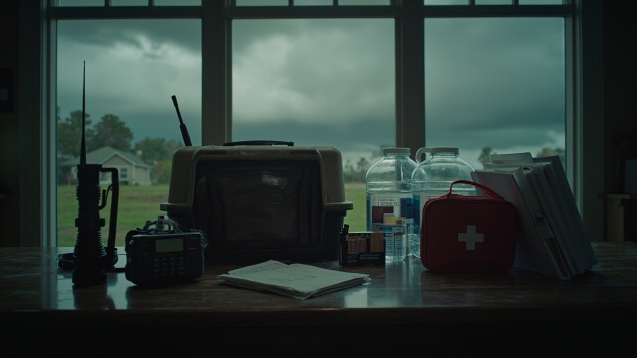
For household readiness, that means charging phones and backup batteries before Friday night, keeping flashlights and extra batteries accessible, and planning for loss of refrigeration, lighting and electric medical devices. The Red Cross specifically advised residents to get a weather radio in case power is lost, and not to forget extra batteries, as reported by 41NBC/WMGT.
Federal guidance summarized by the Savannah Morning News also lists a battery-powered or hand crank radio and a NOAA Weather Radio with tone alert, plus flashlight, extra batteries, cell phone with chargers and backup battery, among basic kit contents attributed to FEMA’s Ready.gov campaign.
Heavy rain and flooding: 1 to 3 inches, locally up to 5 inches
Widespread rainfall and multiple bands of heavy rain were expected across the area Friday night through Sunday as the system moved north, according to 41NBC/WMGT.
Rainfall totals of 1 to 3 inches were likely across most of the area, with localized amounts up to 5 inches possible. That rainfall could lead to flash flooding, particularly in urban and poor-drainage areas as well as flood-prone creeks and streams. A Flood Watch had been issued for the entire area.
Red Cross guidance emphasized caution around moving water. Lawler said six inches of moving water can knock a person down, and 12 inches can move a car, as reported by 41NBC/WMGT.
Drivers should not drive through flooded areas, according to Ready.gov guidance summarized by the Savannah Morning News. Additional driving guidance in that summary advises keeping the gas tank full, ensuring tires are safe with sufficient tread, driving slowly with plenty of distance between vehicles, avoiding slamming brakes, and, if driving becomes difficult, pulling over, stopping and setting the parking brake.
Home preparation steps in the same Savannah Morning News summary include clearing yards of items that could blow around, moving bikes, lawn furniture, grills, propane tanks and building material inside or under shelter, using sandbags where needed, covering windows and doors, and, in particularly dangerous areas, considering storm shutters or nailing plywood to outside window frames. Households were also advised to fill clean water containers with drinking water and to fill sinks and bathtubs with water for washing in case the water supply is lost.
Tornado risk, including overnight Saturday
The eastern side of Isaias creates a favorable environment for tornadoes across North and Middle Georgia, potentially lingering into Sunday morning, according to 41NBC/WMGT.
Several tornadoes were described as possible during the period, including overnight Saturday night. Forecasters noted that tornadoes from tropical systems are typically quick to develop and short-lived, but given the forward speed and setup, a stronger EF2 or EF3 long-track tornado could not be ruled out.
An earlier Middle Georgia outlook from Chief Meteorologist Aaron Lowery similarly warned of embedded tornadic cells sometime Saturday into Sunday, with a possibility of nocturnal tornadoes depending on landfall timing, as reported in “Cloud cover begins to move in Thursday as Isaias intensifies”. That report advised residents to know where to go for shelter before the weekend and noted that mobile homes are not safe during a tornado. People in flood-prone areas were advised to have a place to go for higher ground.
Williams emphasized that it is imperative everyone has a way to receive tornado warnings. The Red Cross also encourages residents to download its free weather app to receive emergency alerts when severe weather threatens Middle Georgia, according to 41NBC/WMGT.
Families should identify an interior room on the lowest floor away from windows, keep shoes, helmets, flashlights and the weather radio nearby overnight, and ensure alerts can wake them. General preparedness practice also calls for keeping evacuation and contact plans where they can be reached without phone service.
Red Cross family checklist: pets, contacts, documents
Lawler stressed that pets are part of the family and can get away during disruption. She advised keeping a photo of pets in case of separation, according to 41NBC/WMGT.
She also advised writing key contacts on a 3x5 card. As Lawler explained:
“Grab a 3x5 card, put the most important people in your life on it.”
That paper backup matters if a cell phone dies or cannot be used.
For documents, Lawler advised putting important papers into a binder, including health information, medical information, homeowners insurance and pet vaccinations, as reported by 41NBC/WMGT. Ready.gov guidance summarized by the Savannah Morning News similarly lists important documents including medical documents, wills, passports and personal identification.
Pet owners should remember that not every shelter is pet friendly and should bring food and pet supplies, including proof of vaccination and a leash or travel crate, according to the Savannah Morning News summary. Keeping vaccination records in the binder directly supports that need.
An evacuation plan should be made with family or close friends before conditions become severe, covering how members will contact each other, where they will go and what they will do, according to FEMA guidance summarized by the Savannah Morning News. A copy should be kept in emergency supplies or another accessible safe place. A map of Georgia hurricane evacuation routes is available at dot.ga.gov/GDOT/Pages/Hurricane.aspx, that report states.
What to pack now: food, water and home应急 essentials
According to FEMA’s Ready.gov campaign as summarized by the Savannah Morning News, a basic emergency supply kit could include water at one gallon per person per day for several days for drinking and sanitation, plus at least a several-day supply of non-perishable food and a manual can opener.
Other listed basics include first aid kit, whistle to signal for help, dust mask to help filter contaminated air, plastic sheeting and duct tape for sheltering in place, moist towelettes, garbage bags and plastic ties for personal sanitation, wrench or pliers to turn off utilities, and local maps.
For vehicles, Ready.gov experts stress having a car emergency kit as well as a home kit, complete with jumper cables, maps and extra blankets, according to the Savannah Morning News. If evacuation becomes necessary, residents were advised to take only what is needed such as phones, chargers, medicine, identification and an emergency supply kit.
After Isaias passes, forecasters expect a ridge to build over the Southeast, bringing warm and dry air, with rain chances dropping to zero Monday through Wednesday, lows in the upper 50s to low 60s and highs in the low to mid 80s, according to 41NBC/WMGT. Until then, Middle Georgia households should treat Saturday as the period of significant impacts, keep alerts on overnight, avoid flooded roads and check on neighbors when safe.